
OpenScene
Dataset
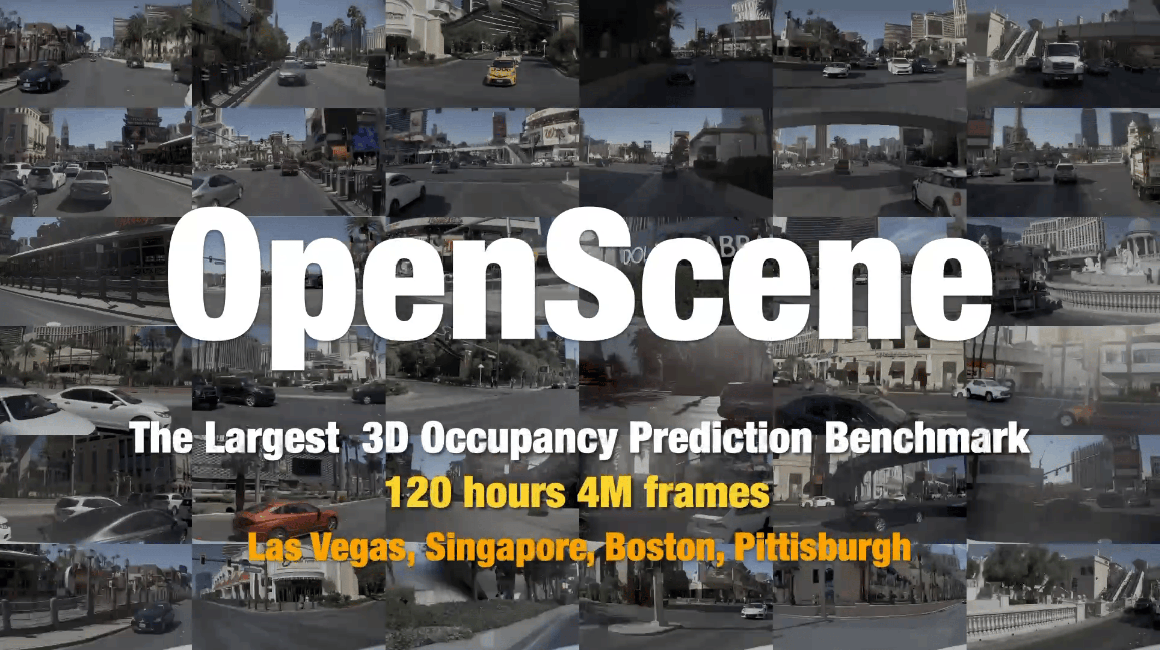
OpenScene is the world's largest scale autonomous driving 3D occupancy prediction benchmark, containing 120 hours and 4 million frames of multi-sensor data, covering urban scenes in Las Vegas, Singapore, Boston, Pittsburgh, and more, suitable for autonomous driving perception and planning research. ```
Dataset Highlights
The world's largest 3D occupancy prediction benchmark, providing a standardized evaluation platform for autonomous driving perception research
Multi-sensor Fusion
Integrates LiDAR point clouds and multi-view camera images, providing complete 3D perception input to support multi-modal fusion algorithm research and development.
3D Occupancy Annotation
Provides detailed 3D voxel occupancy labels, discretizing the scene into a regular grid, annotating each voxel's semantic category and occupancy status.
Multi-city Coverage
Data collected from Las Vegas, Singapore, Boston, and Pittsburgh, covering diverse road structures and traffic scenarios.
Extensive Time Span
Includes 120 hours of continuous driving data, covering different times, weather, and lighting conditions, providing rich training material for temporal modeling.
Rich Annotation System
Provides multi-level annotations such as 3D bounding boxes, semantic segmentation, and occupancy grids, supporting various downstream tasks like detection, segmentation, and prediction.
Standardized Benchmark
Provides unified evaluation metrics and leaderboards, facilitating fair comparisons of the performance of different 3D occupancy prediction methods.
Applicable Scenarios
From academic research to industrial implementation, supporting the full-chain perception development for autonomous driving
3D Occupancy Prediction
Train and evaluate voxel-level occupancy prediction models, understanding the complete geometry and semantic structure of the 3D space around vehicles
Autonomous Driving
Provides training data for autonomous driving perception systems, supporting end-to-end perception, planning, and decision-making algorithm development
Scene Understanding
Perform 3D semantic segmentation and instance segmentation from multi-sensor data, deeply understanding complex traffic scenes
Sensor Fusion
Research LiDAR-Camera cross-modal fusion strategies to enhance 3D perception accuracy and robustness
Data Preview
Below are typical sensor configurations and annotation format examples from the OpenScene dataset
{
"scene_token": "a1b2c3d4e5f6...",
"city": "las_vegas",
"duration_s": 20.0,
"num_frames": 40,
"sensors": {
"lidar": {
"type": "lidar",
"channel": "LIDAR_TOP",
"num_points_per_frame": 300000
},
"cameras":
[
{"channel": "CAM_FRONT", "resolution": [1600, 900]},
{"channel": "CAM_FRONT_LEFT", "resolution": [1600, 900]},
{"channel": "CAM_FRONT_RIGHT", "resolution": [1600, 900]},
{"channel": "CAM_BACK", "resolution": [1600, 900]},
{"channel": "CAM_BACK_LEFT", "resolution": [1600, 900]},
{"channel": "CAM_BACK_RIGHT", "resolution": [1600, 900]}
]
},
"occupancy_grid": {
"voxel_size": [0.5, 0.5, 0.5],
"grid_range": [[-50, -50, -5], [50, 50, 3]],
"num_classes": 16
}
}
3 Steps to Get Started Quickly
From browsing to loading, you can start your 3D perception research in just a few minutes.
Browse the Dataset
View dataset details on the Ace Data Cloud platform to understand sensor configurations, annotation formats, and scene distributions, among other metadata.
Download Data
Select the corresponding city and scene data slices based on research needs, supporting on-demand downloads of LiDAR point clouds, camera images, and occupancy annotations.
Load and Analyze
Use the nuScenes devkit to load the data for 3D visualization, model training, and occupancy prediction evaluation.
Start Exploring OpenScene 3D Data
The world's largest autonomous driving 3D occupancy prediction benchmark, open license, available for immediate download. Whether you are a perception algorithm researcher or an autonomous driving engineer, this dataset is an ideal choice.